Map Overlays
The following overlays are available in the Dispatch Console Maps:
• Map Types: You can choose from Satellite, Terrain, and Traffic overlays. You can select Satellite overlay along with the checkbox option Labels, to show imagery with street names. You can select Terrain overlay by checking the checkbox displayed on clicking the Map button
• Zoom: You can control the zoom level of the map by using the + and - buttons.
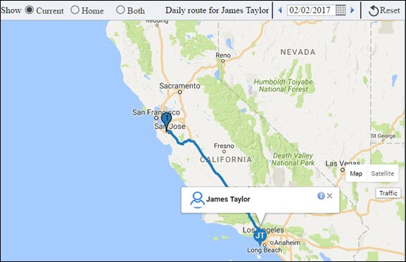
• Locations: You can switch between showing the technician's home location, current location, or both by choosing the appropriate radio button.
|
|
The user setting for technician location on map cannot currently be deployed to other users.
|